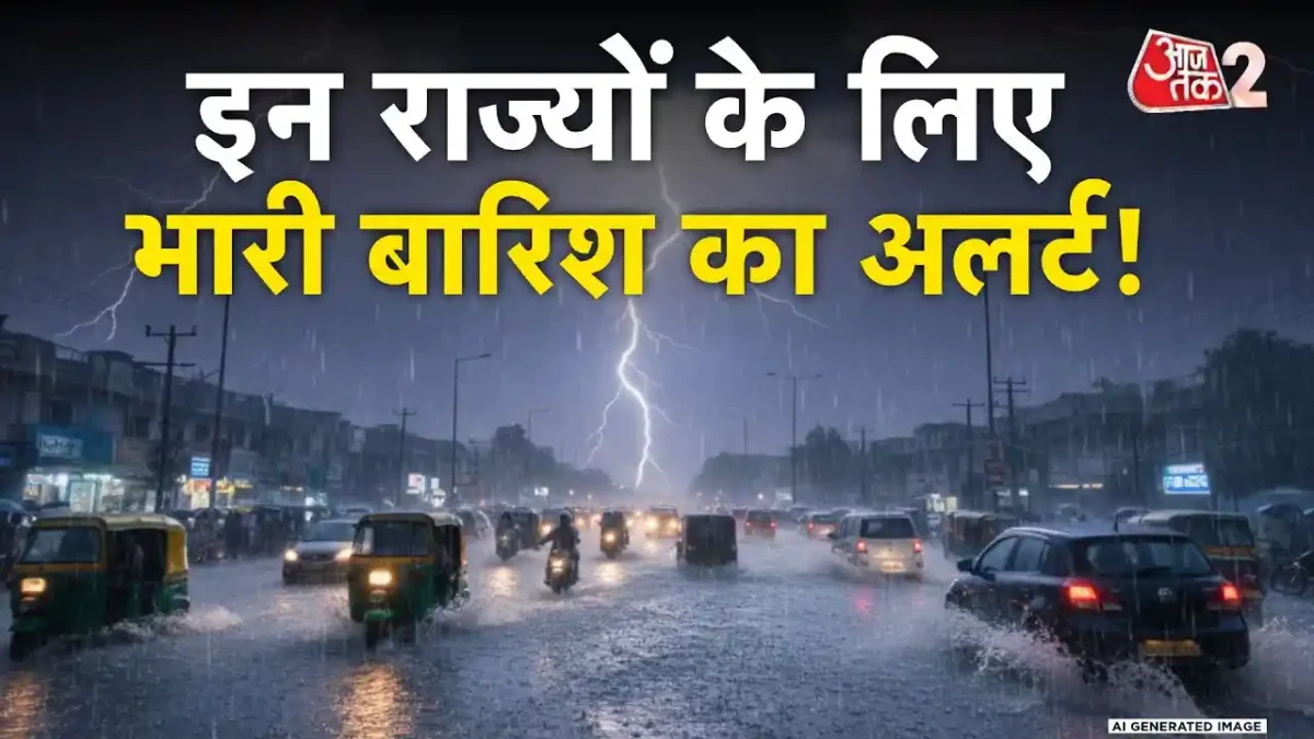
As December comes to a close, North India is set to experience a significant shift in weather conditions. A medium-intensity Western Disturbance is expected to activate in the coming days, affecting various states including Punjab, Haryana, Delhi, and Uttar Pradesh. This disturbance is likely to bring rainfall and increased snowfall in hilly regions, making the transition into the New Year quite eventful.


पश्चिमी विक्षोभ सक्रिय होने से बारिश के आसार
The India Meteorological Department (IMD) predicts that this active Western Disturbance will lead to rain activities in the plains on December 31 and January 1. Additionally, heavy snowfall is anticipated in the mountainous states, enhancing the winter landscape significantly as the year ends.
कोहरे और शीत लहर का ‘ऑरेंज अलर्ट’
Currently, the northwestern icy winds are causing severe cold across Rajasthan, Madhya Pradesh, and the entire northern region. Dense fog is widespread in Punjab, Haryana, Uttar Pradesh, and Bihar during the mornings, severely reducing visibility and causing daytime temperatures to drop sharply. The IMD has issued an orange alert for fog and cold wave conditions, warning of potential impacts on daily life over the next couple of days.


पहाड़ों पर बर्फबारी और पूर्वोत्तर में बारिश
Light snowfall is expected to start on the mountains around December 29 and 30. Meanwhile, the northeastern states, particularly Assam and Arunachal Pradesh, may witness scattered rain. However, most other parts of the country are likely to remain dry for now. As the Western Disturbance approaches the mountains post-December 30, significant changes in weather are anticipated, allowing for a joyful introduction to the New Year amidst rain and snow.
नए साल पर बारिश और भारी हिमपात का पूर्वानुमान
According to the evolving weather patterns, light rain is expected to start in parts of Gujarat, Rajasthan, and Punjab in the afternoon or late evening of December 31. Following this, rainfall will extend to Delhi-NCR, western Uttar Pradesh, and Haryana on January 1. Furthermore, heavy snowfall is likely in the high-altitude areas of Himachal Pradesh, Uttarakhand, and Jammu & Kashmir, boosting the chances of colder weather in the first week of January.


In summary, North India is gearing up for a weather transformation with the arrival of the Western Disturbance. From potential rainfalls to snow-covered mountains, the region is set to embrace winter in full swing as it welcomes the New Year.
Frequently Asked Questions
What areas in North India are affected by the rain alert?
The rain alert particularly affects Punjab, Haryana, Delhi, and Uttar Pradesh, where rainfall is expected due to the activation of the Western Disturbance.


What is a Western Disturbance?
A Western Disturbance is a weather phenomenon that brings moisture to the northern plains of India, resulting in rain and snow, particularly in winter months.
What should residents prepare for during the weather change?
Residents should prepare for colder temperatures, potential snowfall in hilly regions, and reduced visibility due to dense fog, which can impact daily activities.
When will the rain and cold wave conditions occur?
The weather change is expected from December 28 to 30, with the subsequent effects of rain and snowfall continuing into the New Year.
Will the cold weather continue into January?
Yes, the cold weather is expected to intensify in early January, especially following the rainfall and snowfall events due to the Western Disturbance.
